Services
Exploration Geophysics
Geovectors offers complete exploration services, starting with studies of the area's viability and literature reviews and continuing with geological studies, field mapping, exploration programs, commercial viability, geophysical surveys, managing and planning drilling programs, and making final models for mineral exploitation. The final product is used by mining and quarrying teams
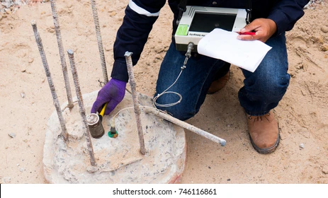
Pile Testing
Geovectors is providing comprehensive pile testing services to wide range of clients. The service is often a requirement of national standards or can be specified as part of the construction specifications. Testing is carried out by a number of ways including: Low Strain Pile Integrity, High Strain Dynamic Test, Case Pile Wave Analysis Program, Crosshole Sonic Logging, Caliper Logging, Static Load Testing On Piles Using Bidirectional Cell / Osterberg Cell and Steps of Bi-directional Testing
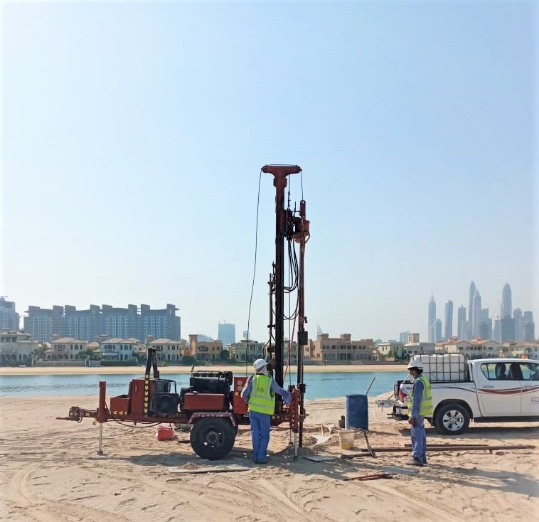
Geotechnical Investigation
Geotechnical site investigation is critical in the construction process, and we provide drilling, lab testing, and field surveys to map groundwater conditions, engineering problems, types of soils or rock, and measuring soil thermal resistivity. Many factors are influenced by such conditions, including the cost of the construction project, the type of foundation required, how the structure will be built, and so on
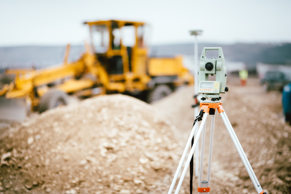
Topographical Surveys
A topographic survey, also referred to as a land, terrain or topo survey, is a type of survey that maps the boundaries, features, and levels of a site. Topographic surveys are a key component of the design process for a site and should be completed prior to detailed design work
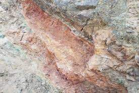
Geological Studies
Geology is the primary Earth science and looks at how the earth formed, its structure and composition, and the types of processes acting on it. Geology is concerned with the history of the earth over the course of its 4.5 billion year life.
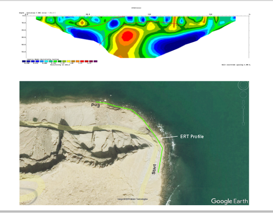
Bathymetry and Met Ocean Surveys
Bathymetry surveys map underwater topography, measuring depth in oceans and water bodies. Met Ocean surveys collect data on atmospheric and oceanic conditions, aiding in navigation, resource exploration, and climate research
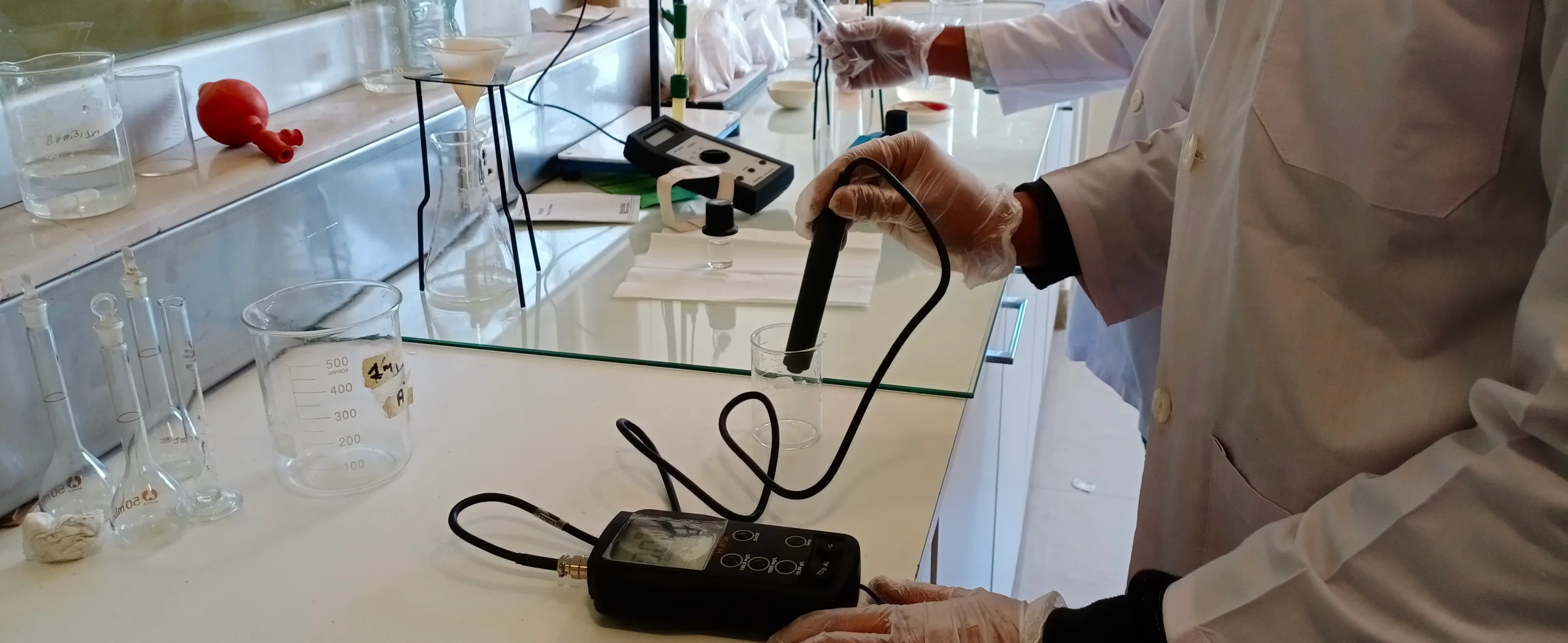
Lab Testing
Geophysical laboratory testing involves analyzing rock and soil samples to determine their physical properties, aiding in the interpretation of subsurface conditions. This essential process informs decisions in resource exploration, hazard assessment, and geological modeling